
Stewardship & Impact
We are thinking carefully about the potential impacts of these proposed trails — on the community, the land, and the character of the valley.
The SNRA charter and scale
The Sawtooth National Recreation Area is massive — at approximately 730,000 acres, roughly the size of Rhode Island. Congress created the SNRA in 1972 expressly to enhance recreation alongside protection of the area's natural values. Yet the local trail network has been shrinking for decades.
The trails we've conceptualized would interconnect with long-established trail systems, all within just a few miles of Highway 75 — making essentially no additional inroads into the more remote parts of the National Forest, and avoiding Wilderness Areas completely. The non-wilderness portion of the forest here is already regularly accessed on foot, horseback, mountain bike, dirt bike, ATV, side-by-side, snowmobile, and full-sized vehicle — including the exact areas where additional single-track is contemplated.
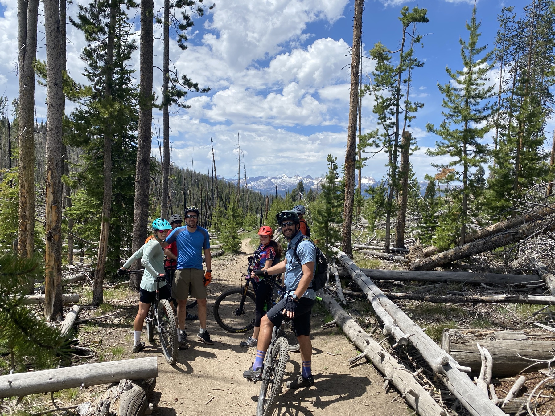
The local community
The immediate local community consists of a small number of ranch properties in the valley and the community at Smiley Creek / Sawtooth City. We believe it is critical to keep impacts away from private property owners so they can continue to enjoy their homes as they always have.
Because e-bikes — which are virtually silent — would be the only power-assisted use, we do not anticipate any noise impact on the community from these trails.
Environmental sensitivity
Minimizing impact is built into the concept itself. Most of the proposed work follows existing alignments rather than new ground. Routes stay near existing roads, which means trails can share bridges and water crossings through riparian areas instead of duplicating them. And by avoiding remote backcountry and Wilderness entirely, the concept concentrates recreation where infrastructure and access already exist.
As planning advances with the Forest Service, we welcome input on sensitive areas that should be avoided.
Share your input